
Sea charts out? The latest developments
Reports have been circulating for some time that printed nautical charts will soon no longer be available. These reports arose on the basis of confusing signals from the British Admiralty.
Those who only sail in leisure time have options to continue navigation digitally, but those who sail professionally and fall under the IMO-Solas regulations need to think about a solution. Several tallship captains asked Jan Maat of Harri Trading, the British Admiralty’s agent in Rotterdam to put his light on the matter. Reason for a conversation.
Seamanship as a choice
The solution of the ‘big’ merchant navy is simple but expensive: These ships can work with two completely separate ECDIS systems. From 1 June 2012, ECDIS has been phased in for all ships larger than 3,000 GT and passenger ships larger than 500 GT. That separate set-up needs to be taken seriously: separate power and emergency supply, separate software, separate antennas and a well-separated location on the bridge. The investment for that solution could amount to several tens of thousands of euros.

Jan Maat: “Many ocean-going charter vessels do not have the funds to make such an investment.” And Maat says that in addition, a consideration of seamanship applies: after all, there are areas where GPS is disturbed due to geopolitical conflicts, the Baltic Sea and the eastern basin of the Mediterranean are often mentioned. If the GPS fails or is inaccurate, even the most expensive electronic navigation system will not provide an accurate position.
Maat: “Some time ago, there was suddenly no GPS around the Maas estuary for a while. In the port of Rotterdam, the story goes that a Russian ship was testing how to shut down our local economy.” Even for yachts that do not fall under the Solas regime, Harri Trading recommends at to have least ocean passage charts on board and, for example, a recent Almanac. And, even better, the essential Admiralty Sailing directions.
A provisional solution
Many ocean-going charter vessels provisionally chose a regulatory-compliant solution that is also practical and affordable. Those vessels carry a full set of updated paper charts on board (many of which can be updated for years) and, in addition, a digital ‘yacht set’ of charts made for the water sports industry that do not meet Solas requirements.

Whether – and to what extent – those paper charts actually end up on the chart table is a best kept secret. Maat: “The news about the disappearance of paper charts is really not new. Fifteen years ago there was such a message, also ten years ago and again a little while ago. It just seems to be a bit more serious now because the UKHO now also attached an end date to it, which, by the way, has since been repeatedly postponed.”
Major merchant shipping and ‘the rest’
But is it realistic to wave off paper charts in four years? According to Harri Trading, the answer to that is twofold. “If it really should happen, the various authoritative nautical bodies will really have to do an incredible amount of work between now and that time and also, for example, adjust regulations. The current regulations focus mainly on (really) big shipping: merchant shipping, the navy and cruise shipping. For those, digital shipping makes perfect sense, but there is an awful lot of smaller shipping internationally, including, for example, ocean-going charter shipping, pilots, ferry services, workboats, government vessels, tugs, pontoons and fishermen. Those industries are a bit forgotten.”
A ‘light’ Ecdis?
Internationally, it is therefore too big a step, according to Maat: “I can’t imagine that in Asia, for example, they can do without paper charts because there are whole local fleets there that really don’t sail digitally yet.” Many third-world countries have therefore protested against the British’ intentions. Meanwhile, consideration is being given to introducing a ‘light’ version of the Ecdis systems that meet the desired regulations, take up less space and can be implemented affordably. Whether this will also reduce the need for paper nautical charts worldwide remains to be seen, given the uncertainties surrounding the guaranteed management of electronically controlled data systems and their control. At Harri Trading, for now, demand for paper charts has increased as a direct result of the political turmoil on the world’s oceans.
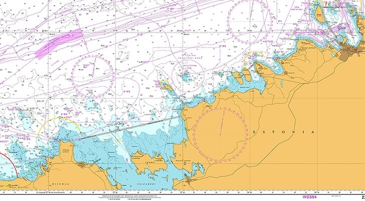
Source and image: own news gathering (KJH)

Windassist sponsor