
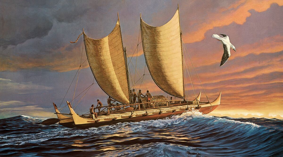
Pacific Navigation
Following reports of the increasing unreliability of GPS, we looked into alternative navigation methods. As well as the traditional use of maps and compasses, ancient knowledge of ocean navigation may well be worth revisiting.
Particularly noteworthy are the many videos providing information on new research into the navigation methods used to discover the islands of the Pacific. It is also striking that three European advocates have facilitated a great deal of practical research. The German Klaus Hympendahl set up the Lapita Voyage project, supported by the Briton James Wharram and the Dutchwoman Hanneke Boon. Hympendahl and Wharram are no longer with us. The research is now being continued by Hanneke Boon, but primarily through initiatives originating from the islands themselves.
Navigating without instruments
If the voyage canoe was the means of transport for Polynesian migration, then the navigation system that guided it was the intelligence behind the greatest voyage of discovery in human history. Traditional Polynesian navigation, known in many communities as ‘wayfinding’, is a multi-sensory, layered system for interpreting the environment, enabling trained navigators anywhere in the Pacific to determine their position and course without instruments, charts, a compass or a clock. Polynesian wayfinding is not guesswork. It is not a matter of luck. It is a precise discipline based on the systematic observation and memorisation of hundreds of environmental cues, which a trained mind integrates into a continuous, real-time assessment of the vessel’s position and course. Practitioners underwent years of intensive training, and the knowledge required was so extensive that its transmission from generation to generation necessitated a dedicated class of expert navigators who devoted their lives to mastering it. The loss of this knowledge, which was almost total following European colonisation, was one of the greatest intellectual losses of modern times, and its partial recovery, described later in this article, is one of the greatest intellectual achievements of the late twentieth century.
The star compass
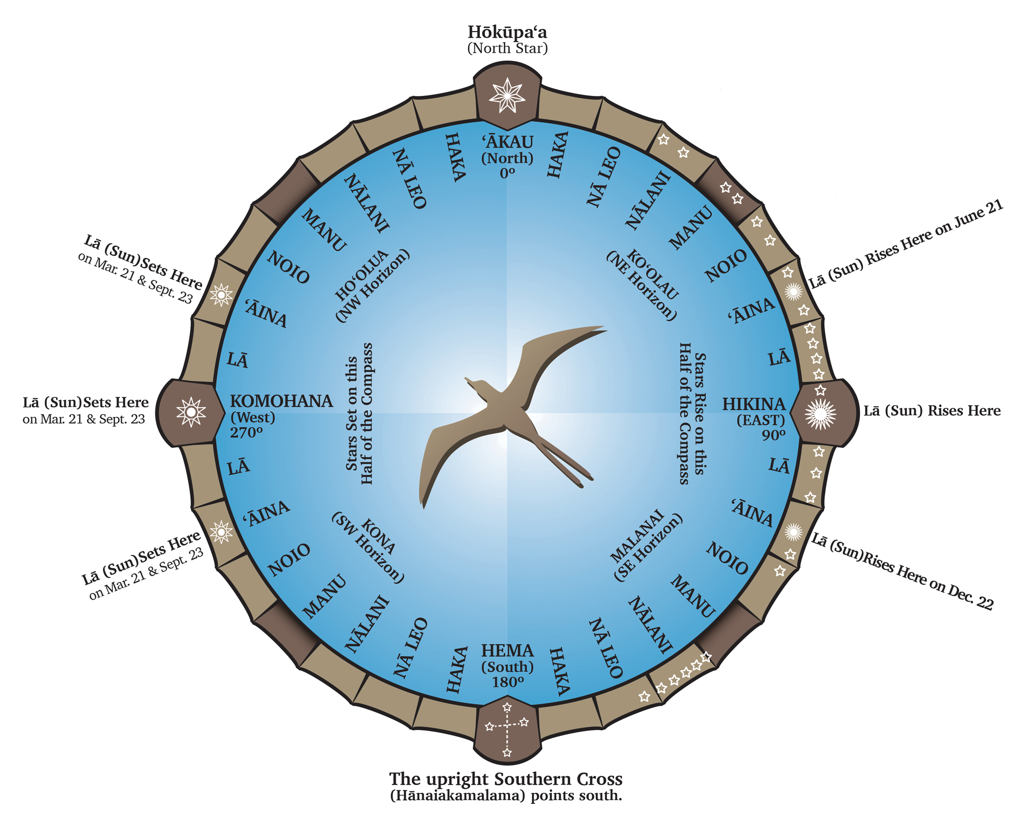 The basis of Polynesian navigation is the star compass. The stars rise and set at predictable points on the horizon, and those points remain essentially constant, night after night and year after year. A navigator who memorises the rising and setting points of a large number of stars effectively possesses a compass that works on any clear night. This system provides the navigator with a continuous compass reading throughout the night, as different stars rise and set. The navigator knows that if a particular star rises on the port side and another sets on the starboard side, the ship is on a specific course. If the course shifts, the change in the star pattern is immediately apparent. The star compass requires no instruments whatsoever, only a memorised knowledge of the night sky and an unobstructed horizon.
During the day, when stars are not visible, the navigator makes use of the arc described by the sun across the sky. In the tropics, the sun rises close to the east and sets close to the west, and its position around midday gives a rough indication of the north-south orientation.
Waves and swell as a navigational aid
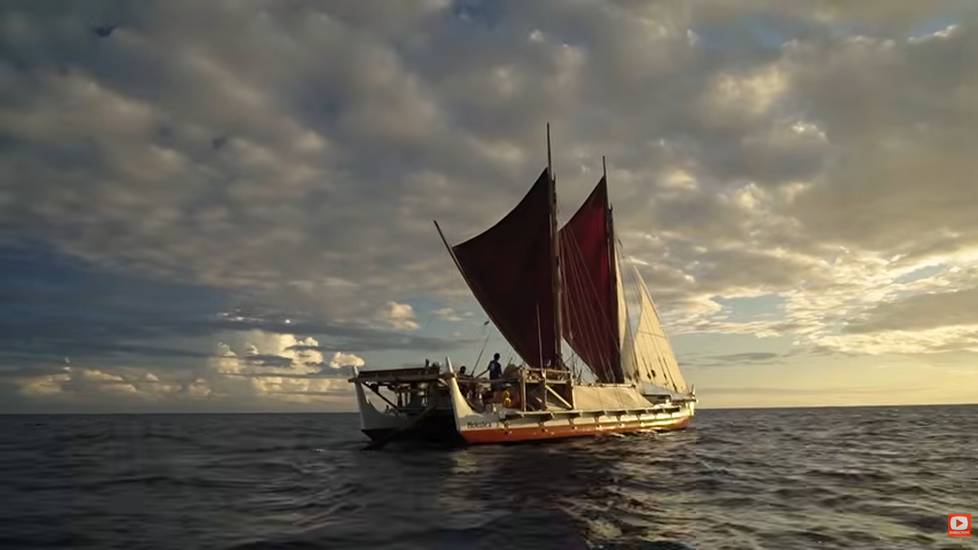 The deep ocean generates long, low swells: waves with a period of ten to thirty seconds and a wavelength of hundreds of metres. Unlike wind waves, which form locally and vary according to local conditions, primary ocean waves are caused by storm systems thousands of miles away and move in consistent, predictable directions above and below the tropics. The swell from the North Pacific consistently rolls in from the north-west. The swell from the Southern Ocean rolls in from the south-west. This primary swell maintains its direction, even when local wind waves obscure it from view, even when the sky is completely overcast, and even when it is invisible to the naked eye.
The body as an instrument
 A trained Polynesian navigator reads the swell with his body, not with his eyes. By feeling the rhythm of the hull’s movement, as well as the rise and fall of the swell beneath the ship, the navigator can determine the direction of the swell and thus maintain a course relative to it, even in complete darkness, in driving rain and on a choppy sea. This technique requires lying on one’s stomach on the hull or deck and feeling its movement directly. Several primary wave trains can be distinguished on the basis of their different periods and angles of incidence, thereby providing the navigator with several independent directional references simultaneously. This skill required years of training and a thorough understanding of the vessel’s behaviour in various sea conditions.
Planning with the seasons
Wind patterns in the Pacific Ocean are predictable on a seasonal basis. The trade winds blow consistently from the east-north-east in the North Pacific and from the east-south-east in the South Pacific, with seasonal variations that experienced navigators knew inside out. The Intertropical Convergence Zone, where the northern and southern trade wind belts meet, shifts seasonally in ways that were codified in Pacific navigation knowledge. Journey planning was aligned with the seasonal wind calendar, making use of favourable winds in every direction and of the seasonal reversals that made it possible to sail eastwards against the prevailing trade wind direction.
Birds and clouds
The behaviour of birds provides some of the most reliable clues for spotting land. Frigatebirds are spectacular seafliers that can travel far from land during the day, but they cannot swim or rest on the ocean’s surface and must return to the coast at night to roost. A navigator who spots frigatebirds in the late afternoon and notes the direction in which they are flying at sunset, on their way to their roost,knows that land lies in that direction within about 50 to 100 miles.
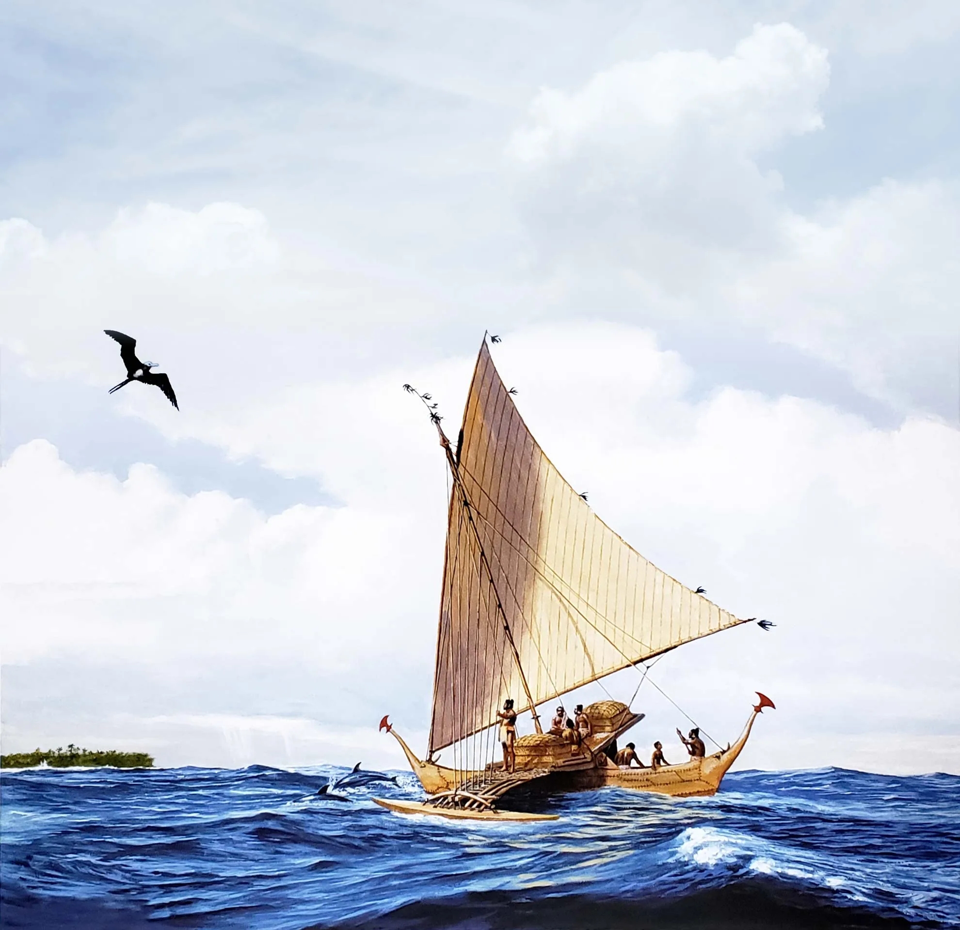
The golden plover (Pluvialis fulva) migrates annually between Alaska and Hawaii, and its migration route and predictable timing were known to Hawaiian navigators as a seasonal reference point for both direction and latitude. The distribution of terns, boobies and other seabirds provides additional clues as to the proximity of land and the estimated depth of the water beneath it.
Clouds over islands behave differently from clouds over the open ocean. Islands cause convective updrafts as warm air rises from the land surface, causing cumulus clouds to form above the islands and linger there, even when the surrounding air is clear. These island clouds are visible from much further away than the island itself, sometimes as far as 100 miles or more. Seafarers learnt to interpret the distinctive shapes and persistent presence of these clouds to detect land beyond the horizon, long before the island became visible at eye level.
Sources: Lapita Voyage, Hokulea, Historia and Country Reports.
Videos: Lapita Voyage with commentary by Hanneke Boonand Hokulea.
Photo above: i.pinimg.
Further reading: *We, the Navigators*, *The Barefoot Navigator* and *Polynesian Navigation & The Discovery Of New Zealand* (often still available second-hand)

Windassist sponsor