
GPS disruption; the Dutch government responds
Following earlier reports on the approach taken by the British Government and the Dutch Coastguard, the Zeepost editorial team sought comment from the Ministry of Infrastructure and Water Management.
Risks
The risks posed by jamming and spoofing have long been a focus of attention for the Ministry of Infrastructure and Water Management. These risks are also recognised internationally, and work is underway on alternative navigation systems, such as R-mode and e-Loran. In addition, Galileo is constantly being improved to make the system more reliable.
No warning
The Ministry does not currently intend to issue a separate warning to the sector, as the United Kingdom does. The problem is widely known within the sector.
Other options
There are also plenty of other instruments and options on board for determining the position of ships in the North Sea, such as radar, visual bearing, AIS base stations on offshore platforms, celestial navigation and dead reckoning. Whilst these methods are less accurate than GPS, they can be used in emergencies to reach the destination. The navigation officer on the bridge is therefore expected to be equipped to deal with this. The instruments prescribed for this purpose are mandatory under the SOLAS Convention, and their use is covered by the STCW Convention.
Source: response from I&W.
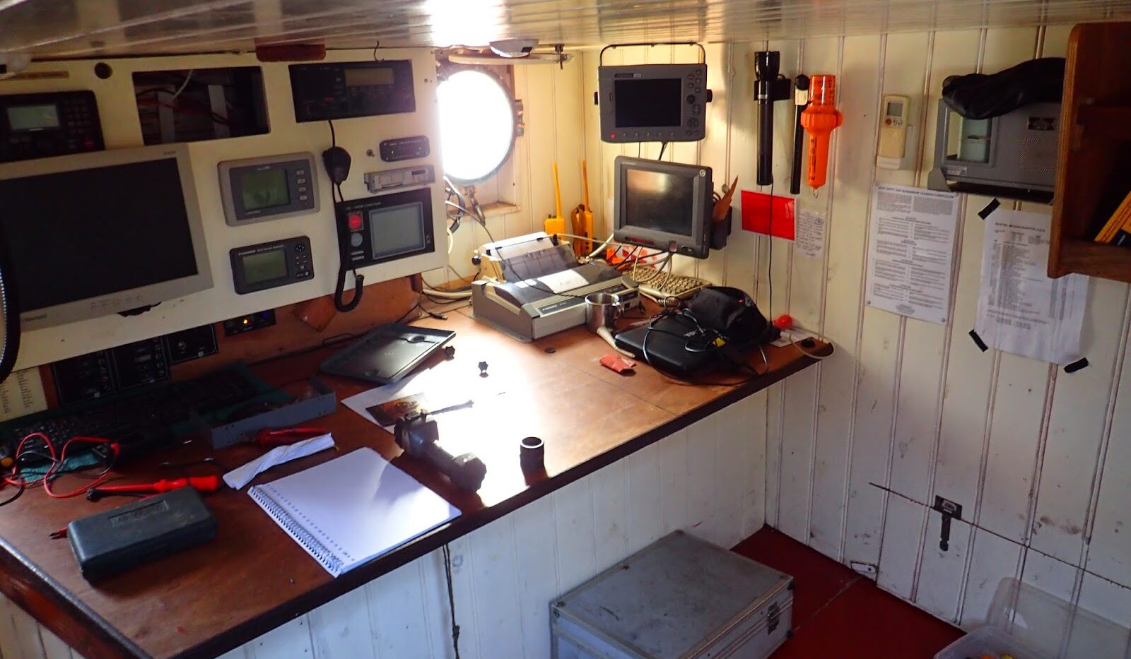
Photo: the navigation room of the Tres Hombres

Windassist sponsor